

Day 9
Gan to Kingston
Start Time: 2012-07-09 10:53 AM
End Time: 2012-07-09 12:38 PM
Active track info:
Distance: 16.7 NM
Total time: 1h 44'
Average Speed: 9.6 kts
Max Speed: 19.3 kts
Click on the link to see it in google earth
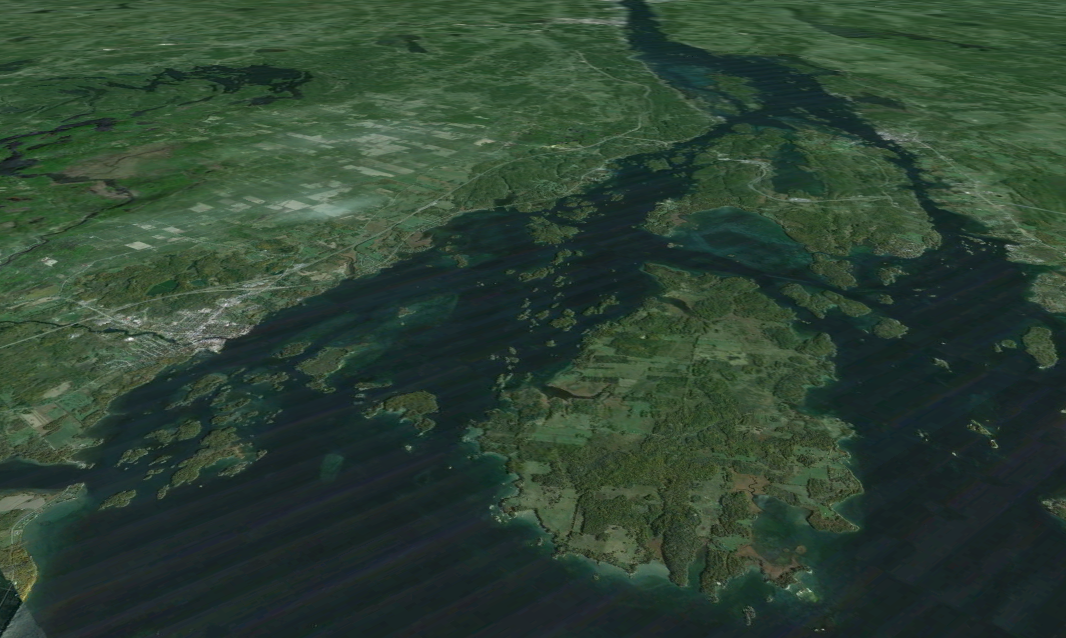
Day 10
Kingston to The Navy Islands
Start Time: 2012-07-10 9:58 AM
End Time: 2012-07-10 12:44 PM
Active track info:
Distance: 20.3 NM
Total time: 2h 45'
Average Speed: 7.4 kts
Max Speed: 8.4 kts
Click on the link to see it in google earth
Spent 2 nights in Gananoque. Had a new charger delivered from Kingston West Marine by my gracious Father-in-Law. The charger worked for a few minutes then failed. Our decision was to go to Kingston in boat on Monday to be close to supplies and Marine stores. We got a second charger on Monday and everything has been working great ever since.
With the lost time, backtracking, cost of marinas, added fuel burn, and the cost of a new charger, it looks like we will forego our loop around Lake Champlain and the Erie Canal. We will stay in the 1000 Islands for now. Maybe we will end up in Montreal.
It is great to be anchored out again. We are in a lovely anchorage nestled in the Navy Fleet of Island just east of Gan. This place is packed on the weekends, however we are the only ones in the bay tonight. The weather is cooler but comfortable.


